How to Read a Trail Description Before You Go
Distance is only part of the story. Elevation gain, route type and surface tell you what a trail will actually feel like.
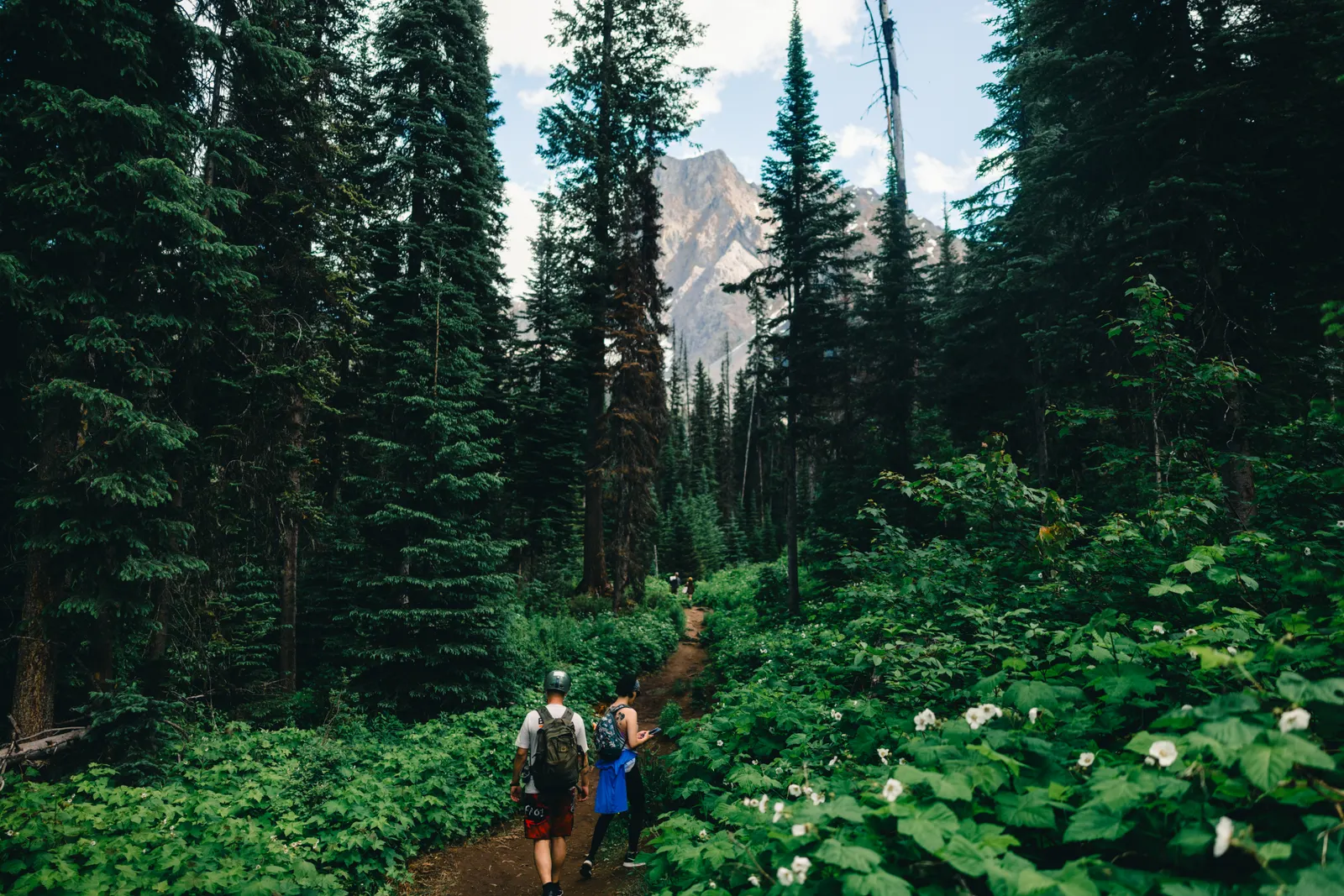
Two trails can both be “8 km” and feel nothing alike. One is a flat lakeshore loop you could do in sandals; the other climbs 900 m over loose rock. Learning to read a trail description properly is the single best way to avoid an unpleasant surprise.
Distance: one way or return?
The first thing to confirm is whether the distance is one way or return. Many Canadian park sites list out-and-back trails as return distances, but not all do, and third-party apps vary. If it is unclear, assume the longer reading until you can confirm.
Elevation gain matters more than distance
Elevation gain is the total amount of climbing. For many hikers, every 300 m of gain adds noticeably more time and effort than an extra kilometre of flat trail. A short trail with a lot of gain will often take longer than a long trail with none.
| Elevation gain | What it usually means |
|---|---|
| Under 150 m | Mostly flat; gentle rolling terrain |
| 150–500 m | Sustained climbing in places; a proper workout |
| 500–900 m | Long climbs; a full day for many hikers |
| Over 900 m | Strenuous; experience and fitness required |
Route type
- Loop — starts and ends at the same place without retracing your steps.
- Out-and-back — you return the way you came. Easy to turn around early.
- Point-to-point — starts and ends in different places. Needs a shuttle or second vehicle.
Difficulty ratings are relative
“Easy,” “moderate” and “difficult” are useful, but they are not standard across parks and provinces. A “moderate” trail in the mountains can be harder than a “difficult” one elsewhere. Read the details rather than relying on the label.
Surface and exposure
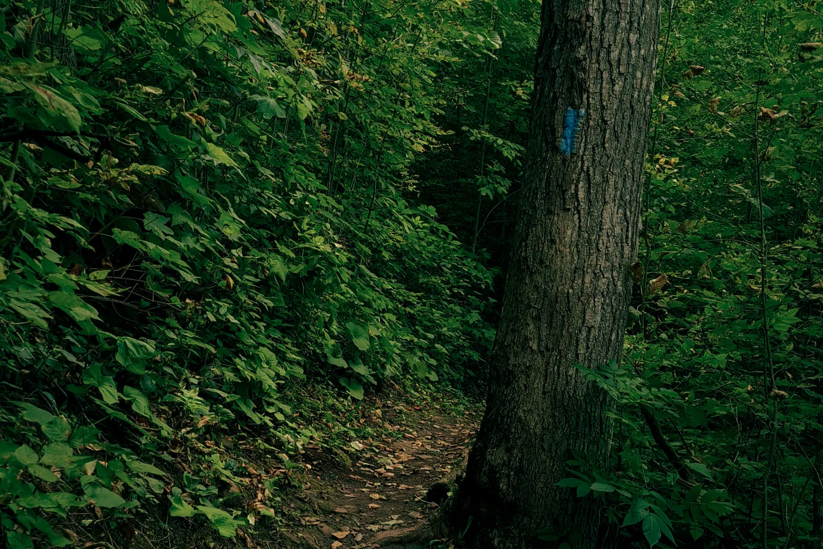
Look for words like scree, roots, boardwalk, exposed, scrambling or stream crossing. These tell you about footing, the need for hands, and whether high water or snow could make a route unsafe.
The fine print
- Seasonal notes — snow on high trails, bug season, or closures for wildlife.
- Group-access restrictions — some trails in bear habitat require hiking in groups during certain periods.
- Parking and permits — reservations, shuttles or day-use passes.
Finally: check the date. Trail descriptions can be years old. Always confirm current conditions with the park or trail authority before you go.
Check before you go. This note is general information. Trail, water and weather conditions change, and rules differ between parks. Always confirm current conditions, closures and requirements with the relevant official park or local authority before you travel.